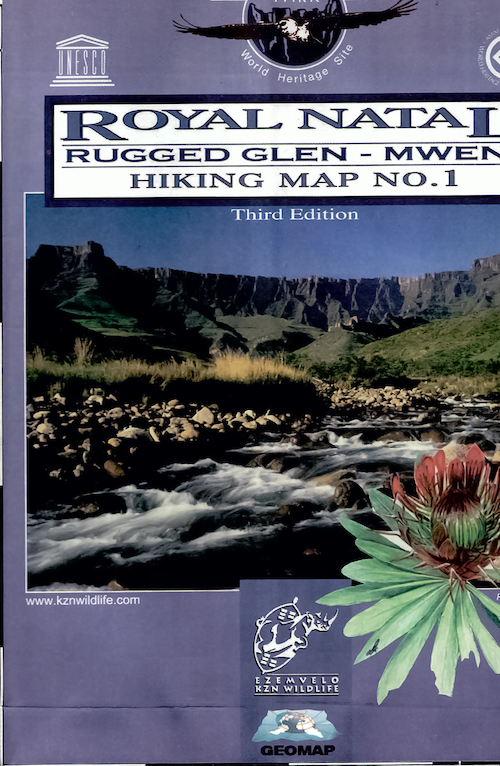
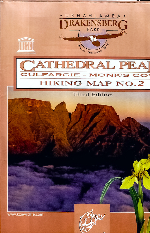
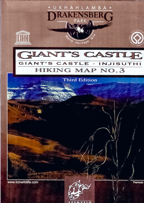
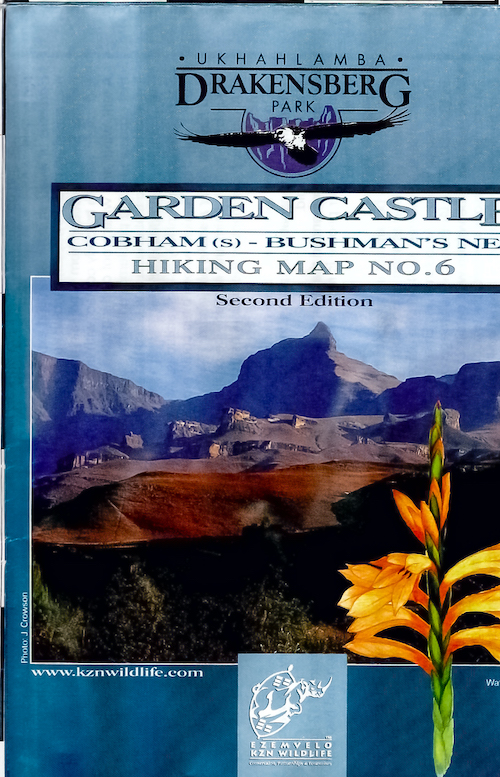
I’ve just finished digitizing the complete set of Drakensberg maps for use in Google Earth and on mobile applications (Orux, AlpineQuest, OSMAnd). These digital formats will be hugely useful for planning routes, as well as navigating offline when out in the mountains.
The first step of this process was scanning the original paper maps on a large format art scanner. Next, I retouched them in Lightroom to enhance the contrast and saturation, as well as tweaked a few other parameters.
I then imported and georeferenced the large image files by following the QGIS tutorial steps. The original map projection uses Cape datum as the geodesic reference, and old datum that was retired in the 90’s. The target format is WGS84, the reference for GPS systems.
At this point it got interesting: I had to convert the tif format using gdal_translate:
GDAL_TIFF_OVR_BLOCKSIZE=256 gdal_translate -ot Byte -co COMPRESS=LZW -co PREDICTOR=2 -co PHOTOMETRIC=RGB input.tif output.tif
And then use a small tool called MAPC2MAPC to convert the geotiffs into mobile atlas formats, for use with the three target mobile applications. It’s great to see small independent developers selling useful tools, especially with no other alternatives available. It was well worth the purchase price.
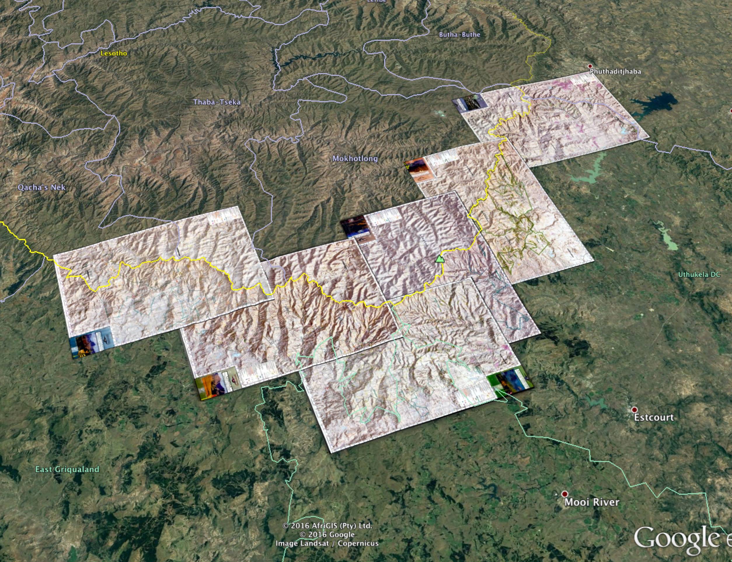
Google Earth was a bit easier: just create a superoverlay and save the final artifact. The end result is the ability to overlay the maps accurately, planning routes easily and doing fly-overs of all the features. Turning on the 3D altitude effects creates an awesome experience.
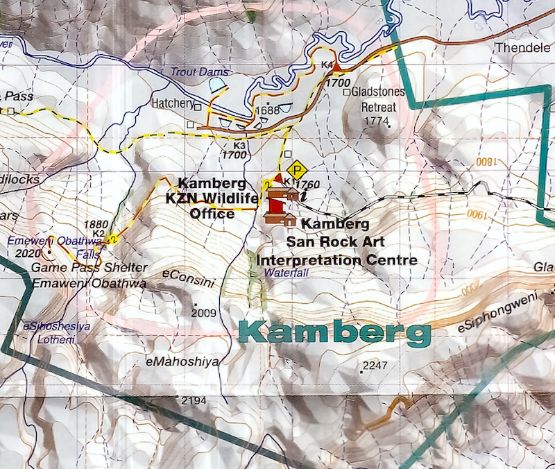
Unfortunately KZN Wildlife does not update these maps anymore, and seems to have no budget or interest in modernising their systems and information for hikers. They’re often out of stock of the old versions. Having access to digital maps is a huge benefit for hikers.